ROAD INFRASTRUCTURE
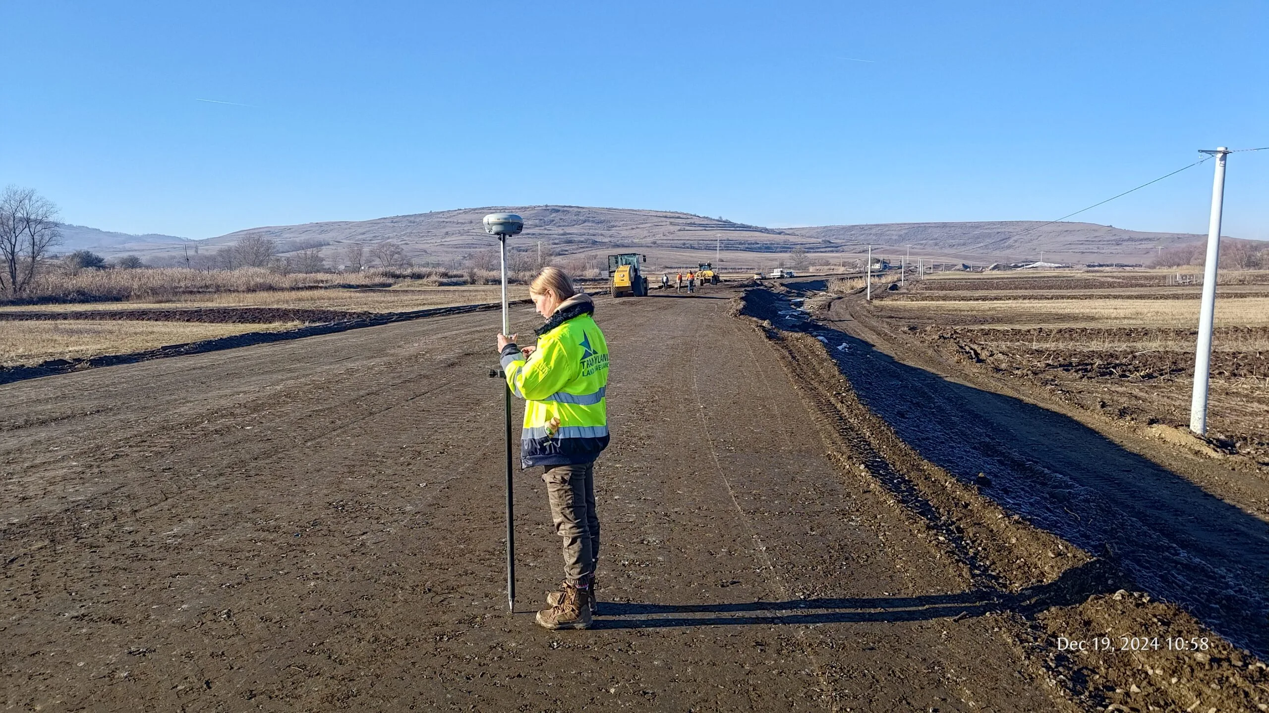
A3 Motorway — Târgu Mureș–Ungheni
Surveying for the Târgu Mureș–Ungheni section: 4.5 km of motorway and 4.5 km of high-speed road.
PORTFOLIO
A selection of work illustrating the types of projects we can support, from cadastral documentation and private land to construction and infrastructure.
PROJECTS
Surveying for the Târgu Mureș–Ungheni section: 4.5 km of motorway and 4.5 km of high-speed road.
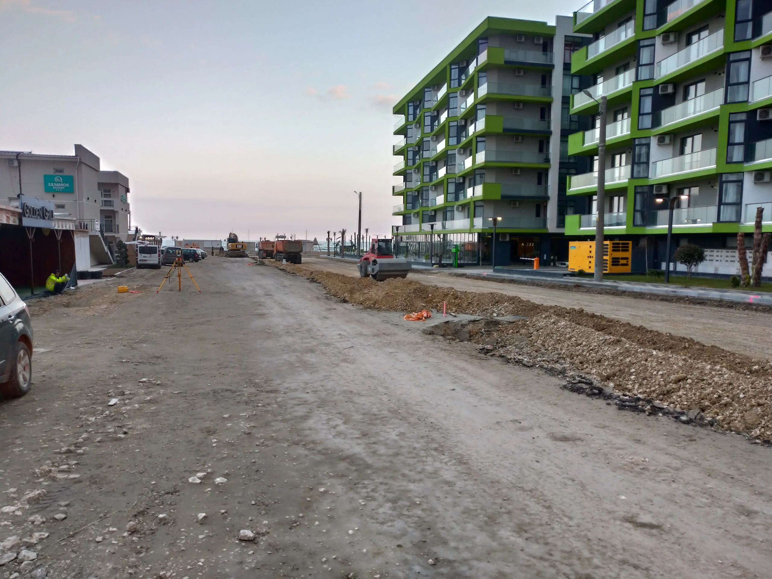
Topographic and geodetic services for the rehabilitation of 24 streets and their stormwater drainage systems in Mamaia Nord.
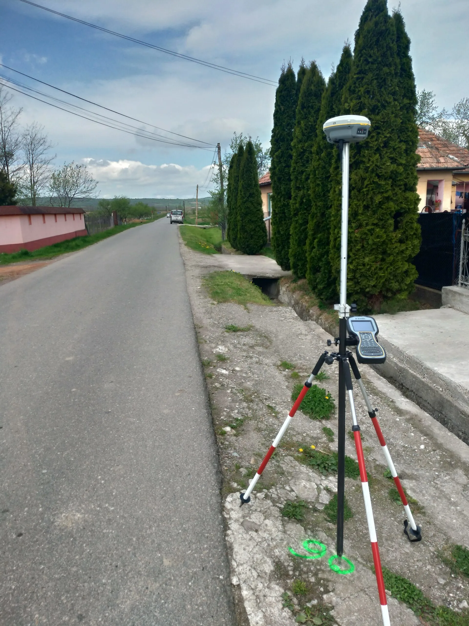
Surveying support for the rehabilitation of 10 km of road, including ditches, accesses, bridges and the road structure.
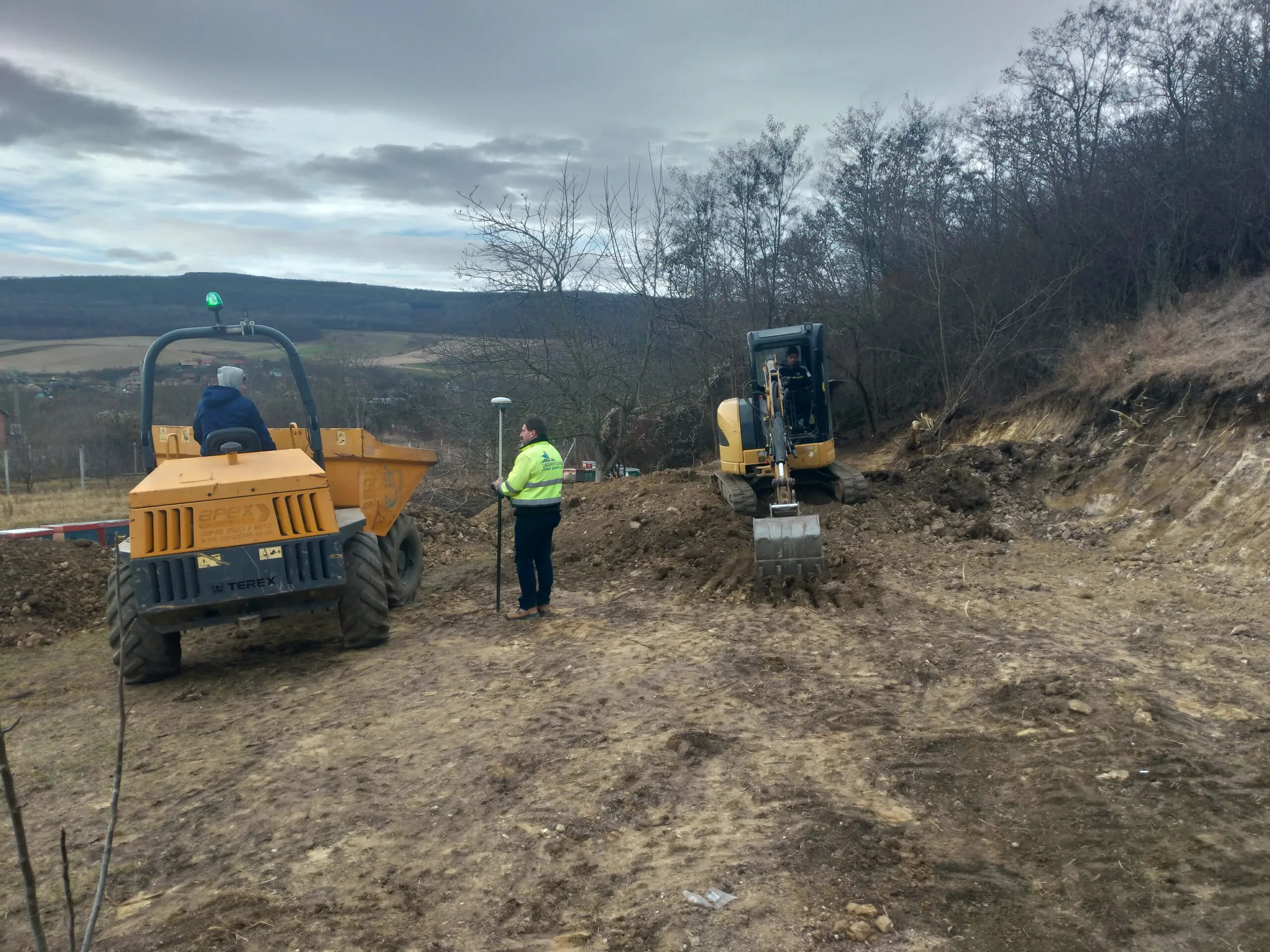
Survey and design of an earth platform built with a motor grader using GPS blade control and 3D modelling.
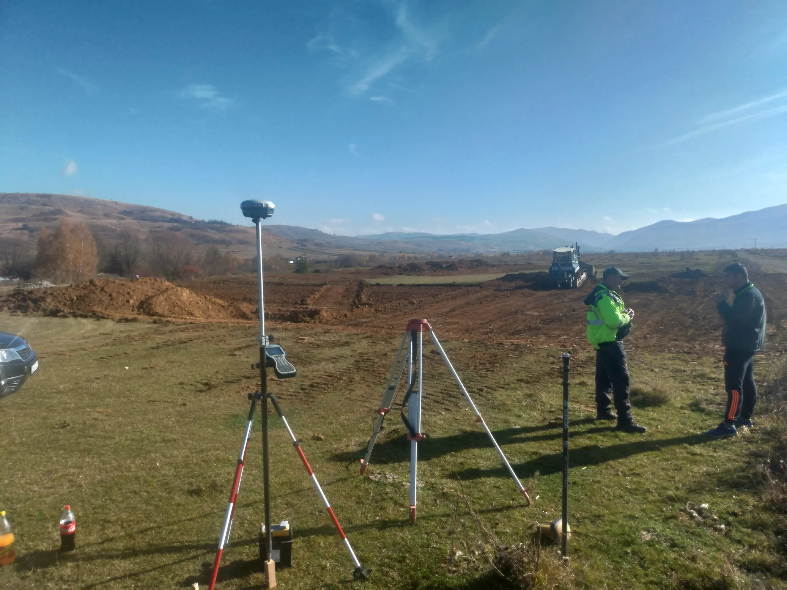
Surveying and design for a football field platform built with a bulldozer using GPS-based 3D blade control.
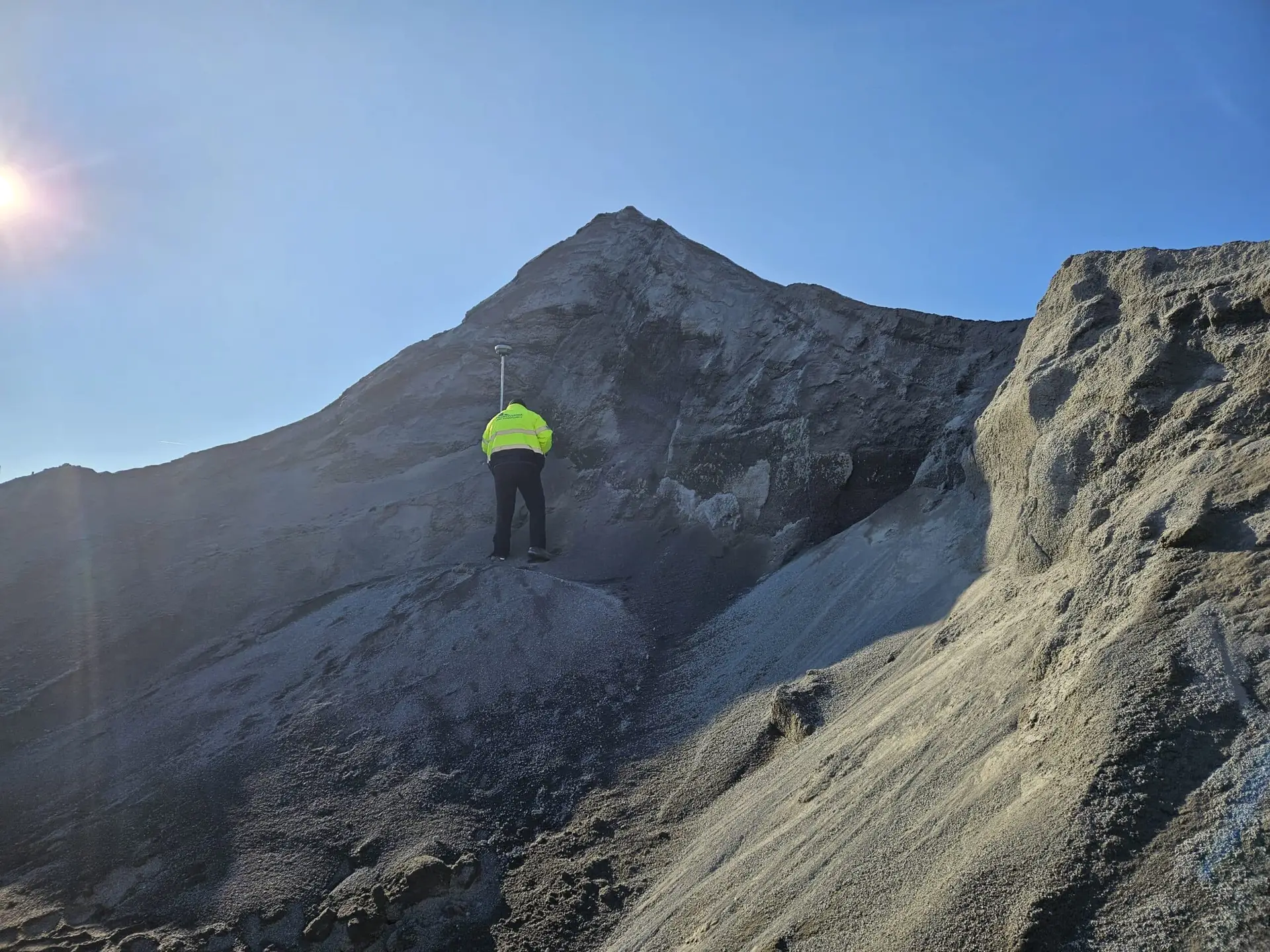
Topographic surveys and 3D modelling to calculate volumes of aggregates and other construction materials.
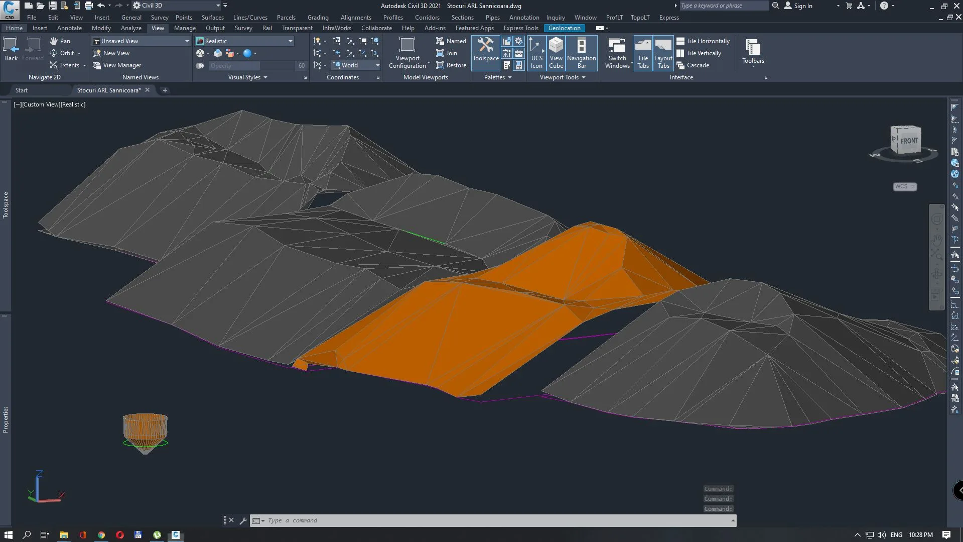
High-precision monitoring of benchmarks to track landfill stability over time using GPS measurements in base-rover mode.
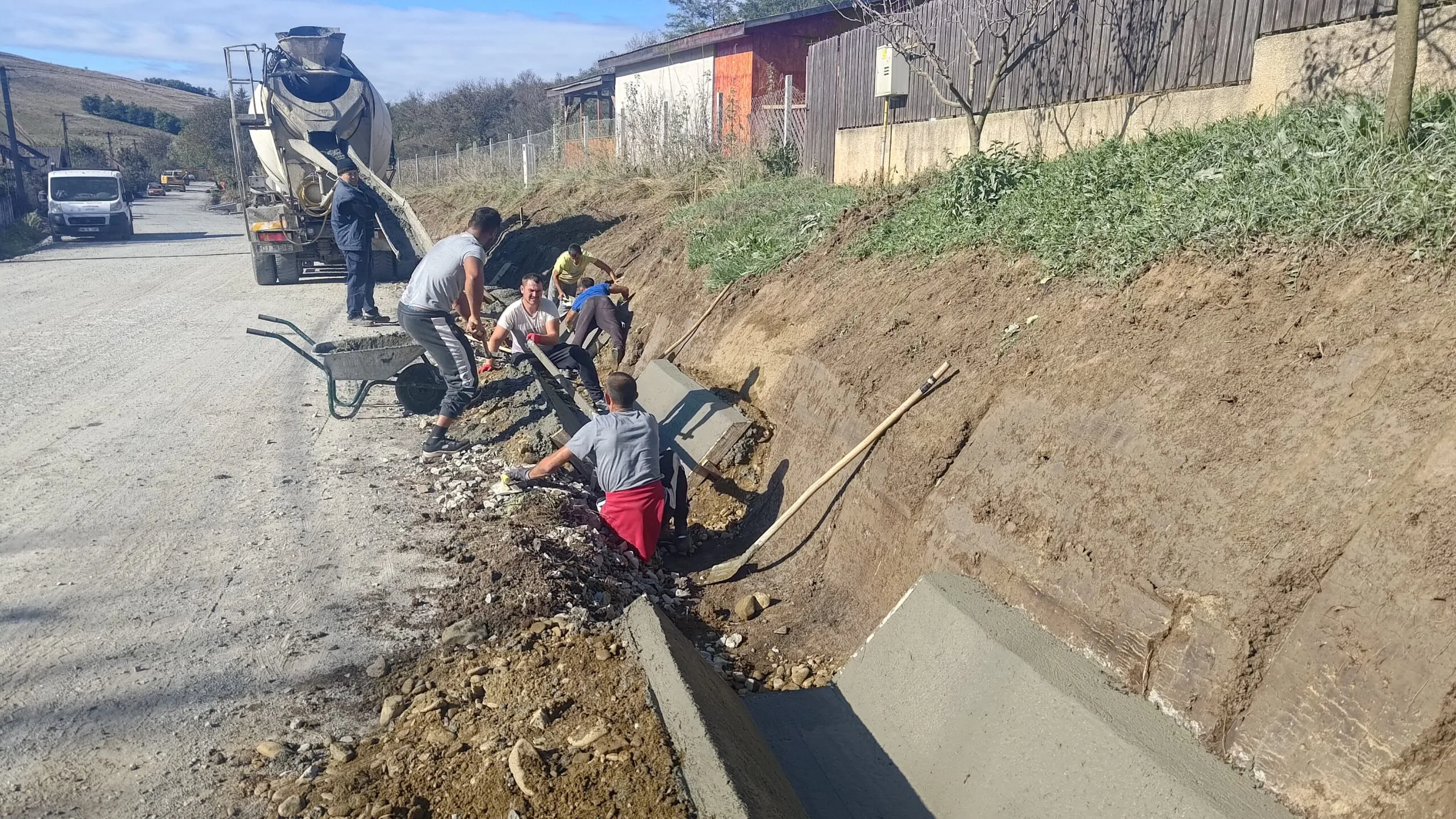
Manhole setting-out and excavation level checks for sewerage works on Pădurii and Câmpului streets in Zalău.
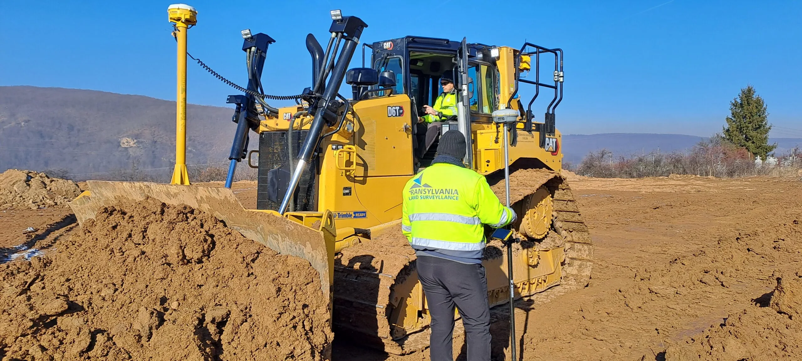
Topographic survey and platform design for a football field, with a 3D model and GPS guidance for the bulldozer.
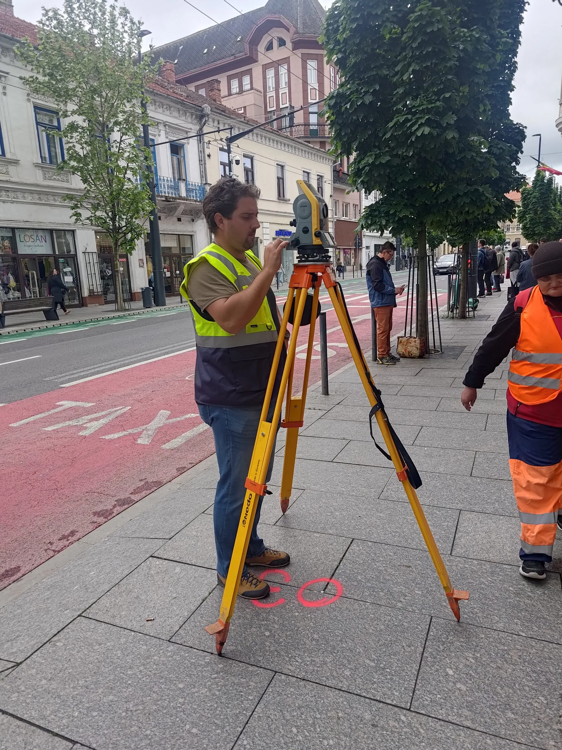
Surveys and documentation for land registration, parceling, PUZ/PUD plans and building permits, including OCPI submission.
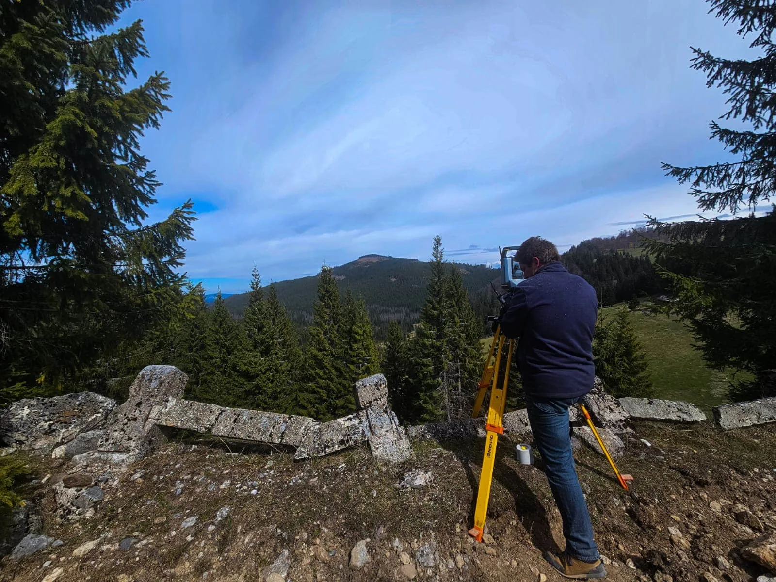
Geodetic control network, survey for redesign and on-site surveying support during the DJ763 rehabilitation works.