Cadastre and Land Registry
Cadastral documentation for properties and buildings.
View servicesSERVICES
Accurate measurements and technical documentation for properties, construction and infrastructure projects. Experience, modern technology and attention to detail, from the field to the final documentation.
SERVICE AREAS
Cadastral documentation for properties and buildings.
View services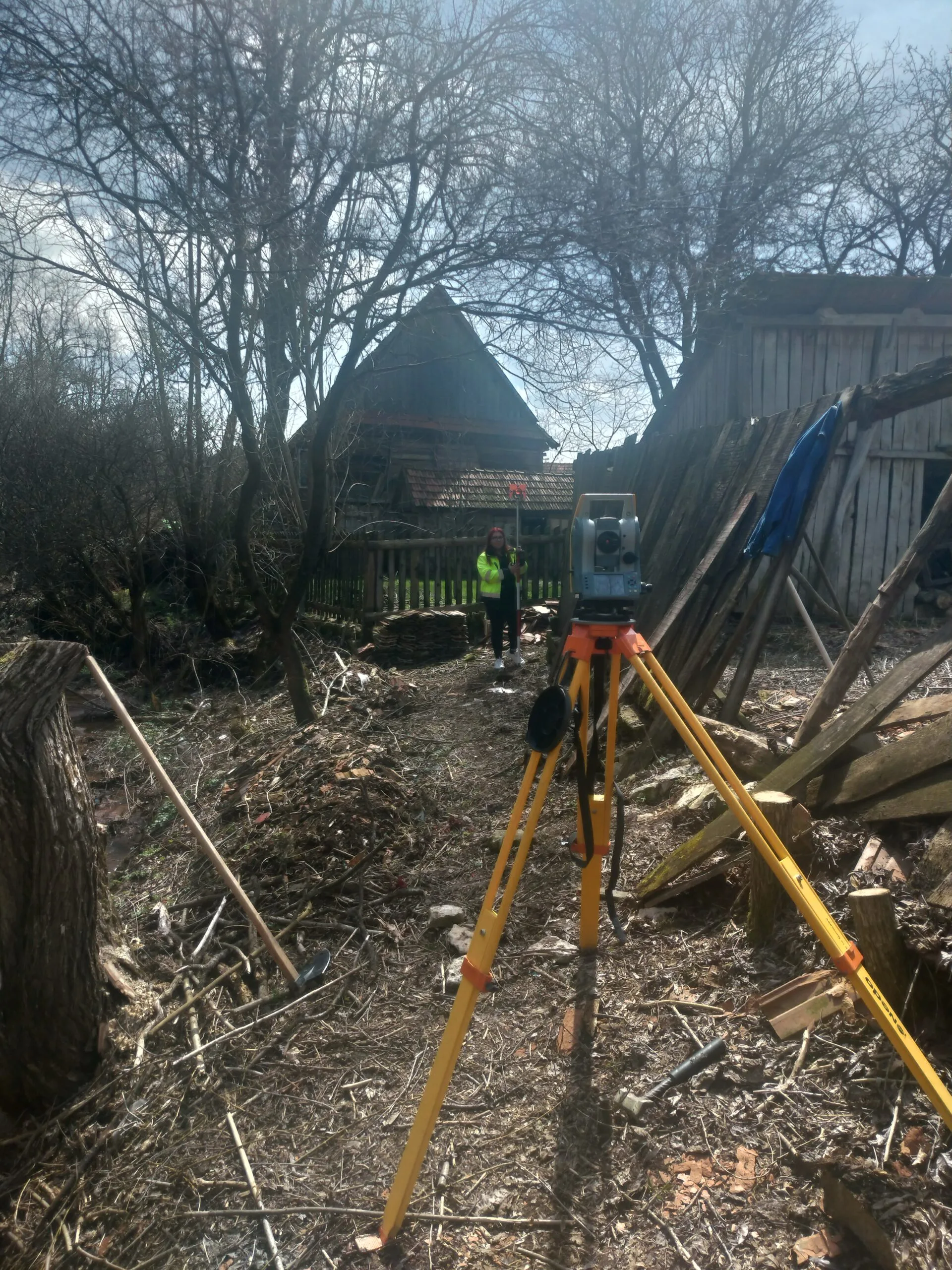
Measurements and documentation for changing land configuration.
View services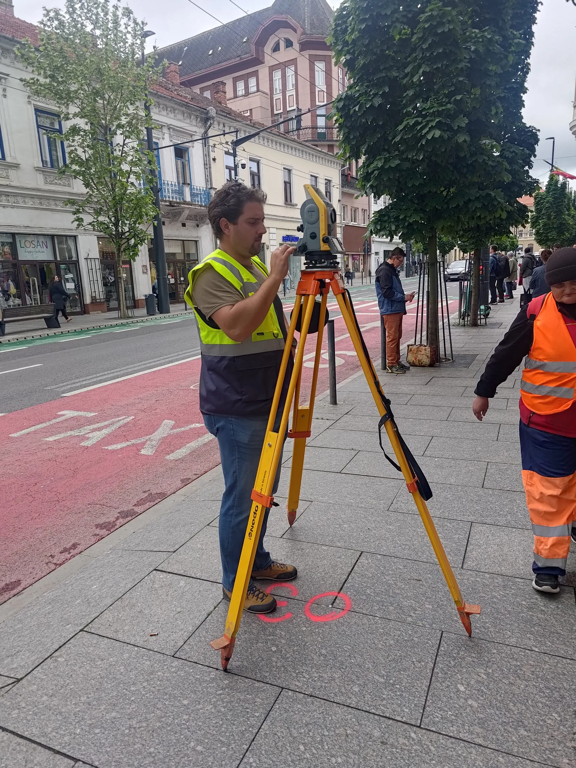
Measurements for design, permitting and feasibility studies.
View services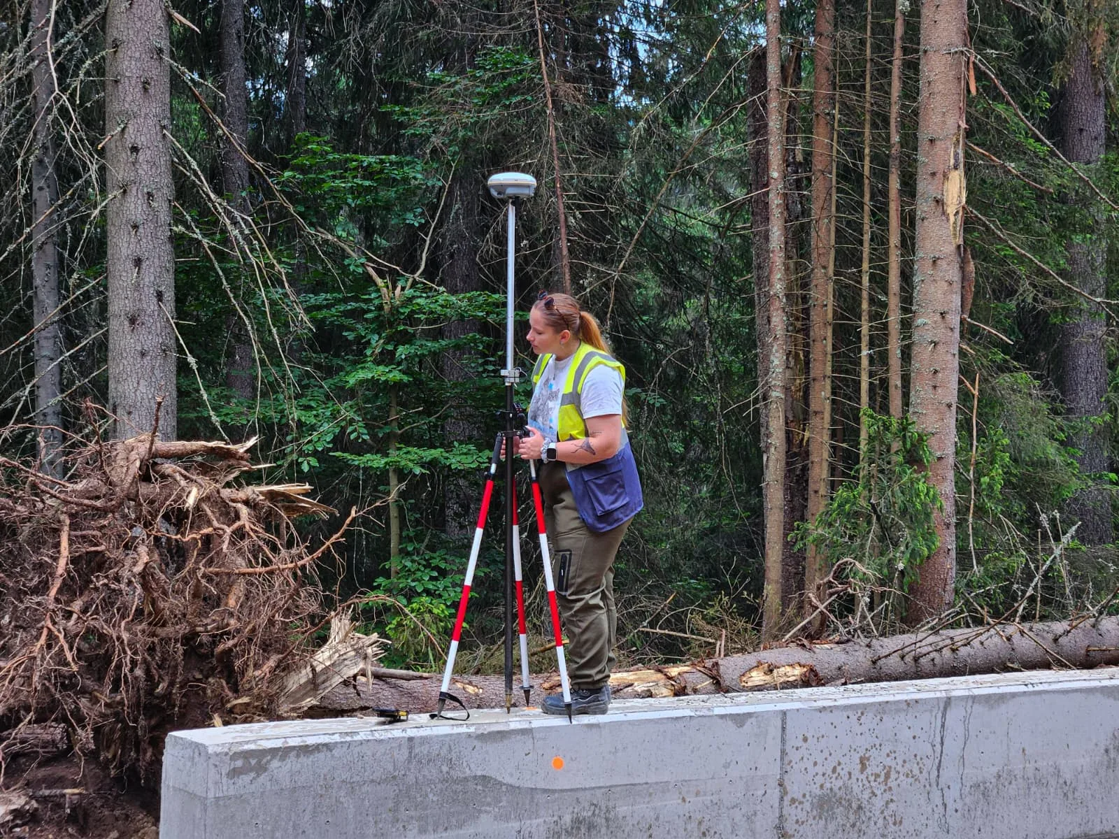
Setting out, verification and surveying support throughout construction.
View services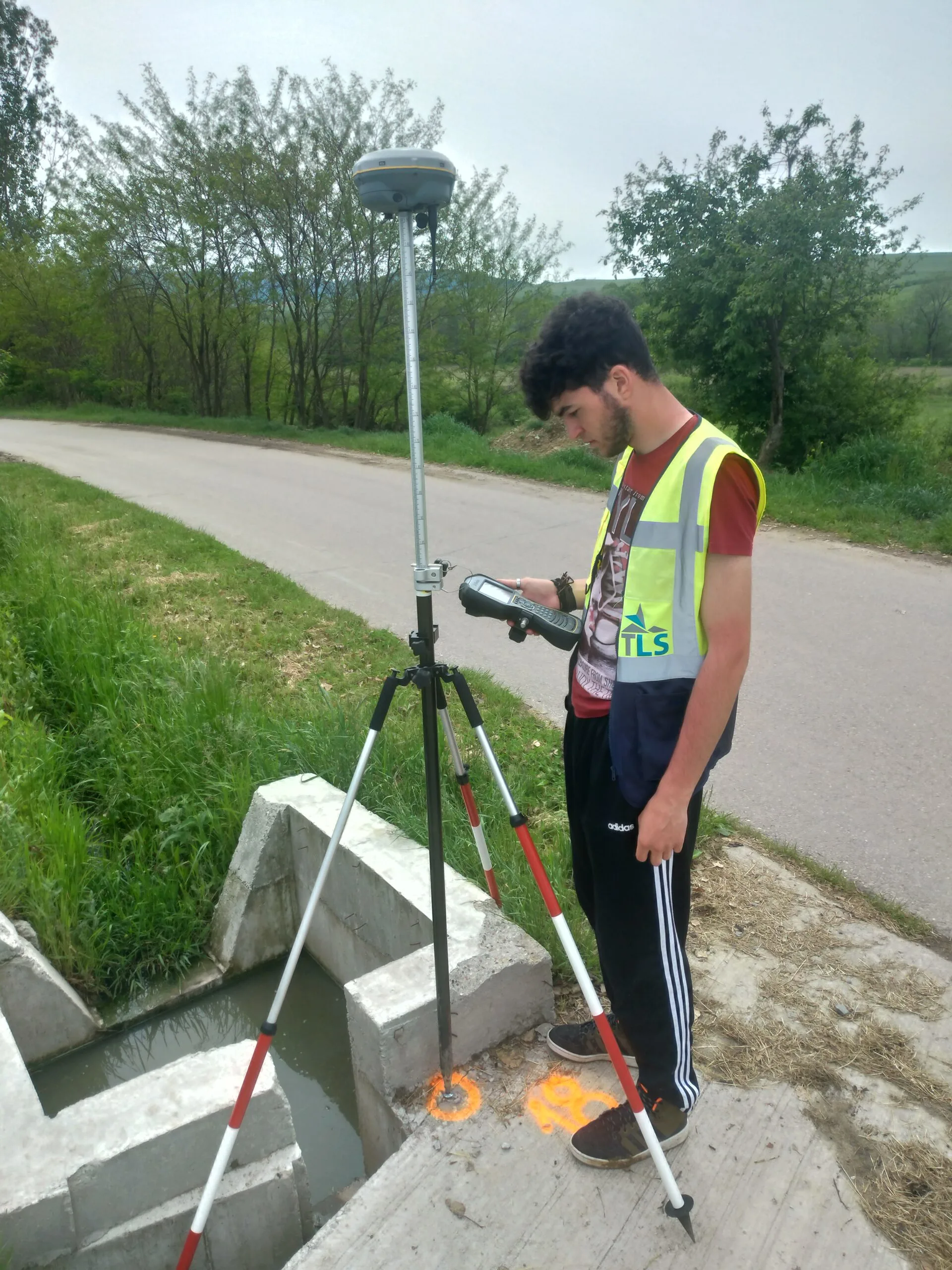
Surveying support for roads, networks and infrastructure projects.
View services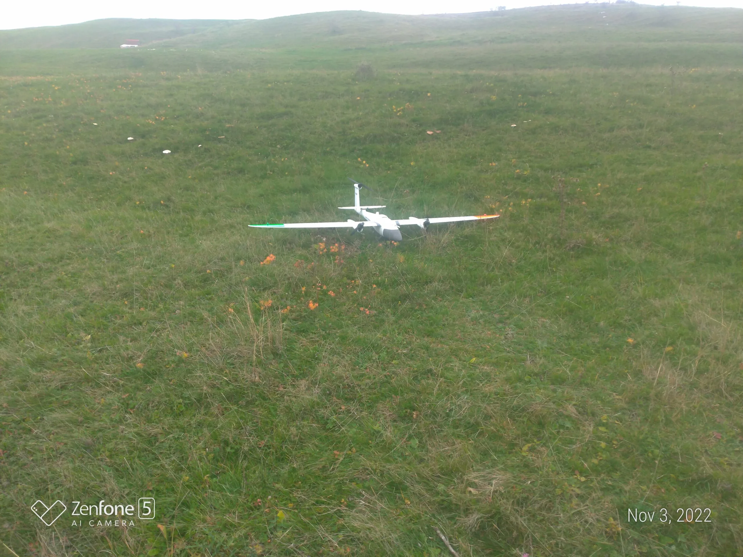
Orthophotos, 3D models and fast data for a range of projects.
View servicesOUR SERVICES IN DETAIL
Every project is different. Our services are grouped below so you can quickly identify the right solution.
We prepare the documentation needed to register, update and correct information about properties and buildings.
We identify boundaries and prepare the documentation required when land needs to be marked, divided or merged.
We produce measured drawings, surveys and topographic plans for design, permitting and urban planning requirements.
We provide surveying support for positioning and checking construction elements during execution.
We provide the measurements, setting out and technical data required for infrastructure and utility-network projects.
We collect aerial data for detailed representations of terrain, buildings and surveyed areas.
HOW WE WORK
Send us the available information and we establish exactly which service is needed.
We carry out the field measurements and prepare the necessary technical documentation.
You receive the final materials and, where applicable, support for the next steps.
For the most accurate estimate, it helps if you send us some basic information about your project.
The property address or cadastral number.
What needs to be measured or documented.
Plans, Land Registry extract or other available documents.
Tell us a few details and we can suggest the right service and the next steps.